

History Lives at 31 Sand Rd.
Uncover 5,000 years of Indigenous and colonial stories
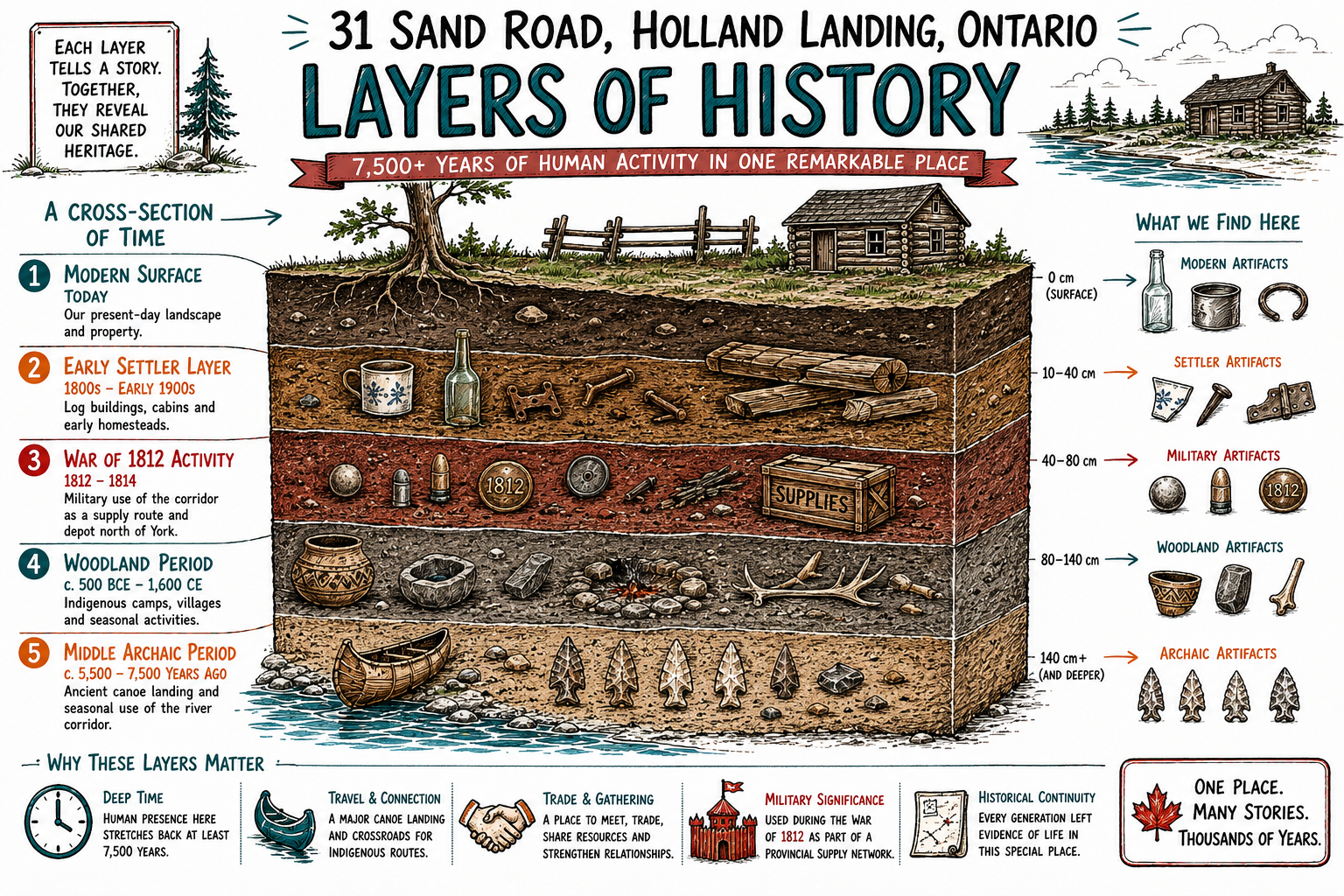
Some visuals are interpretive and are used for public-history communication, not as archival evidence.
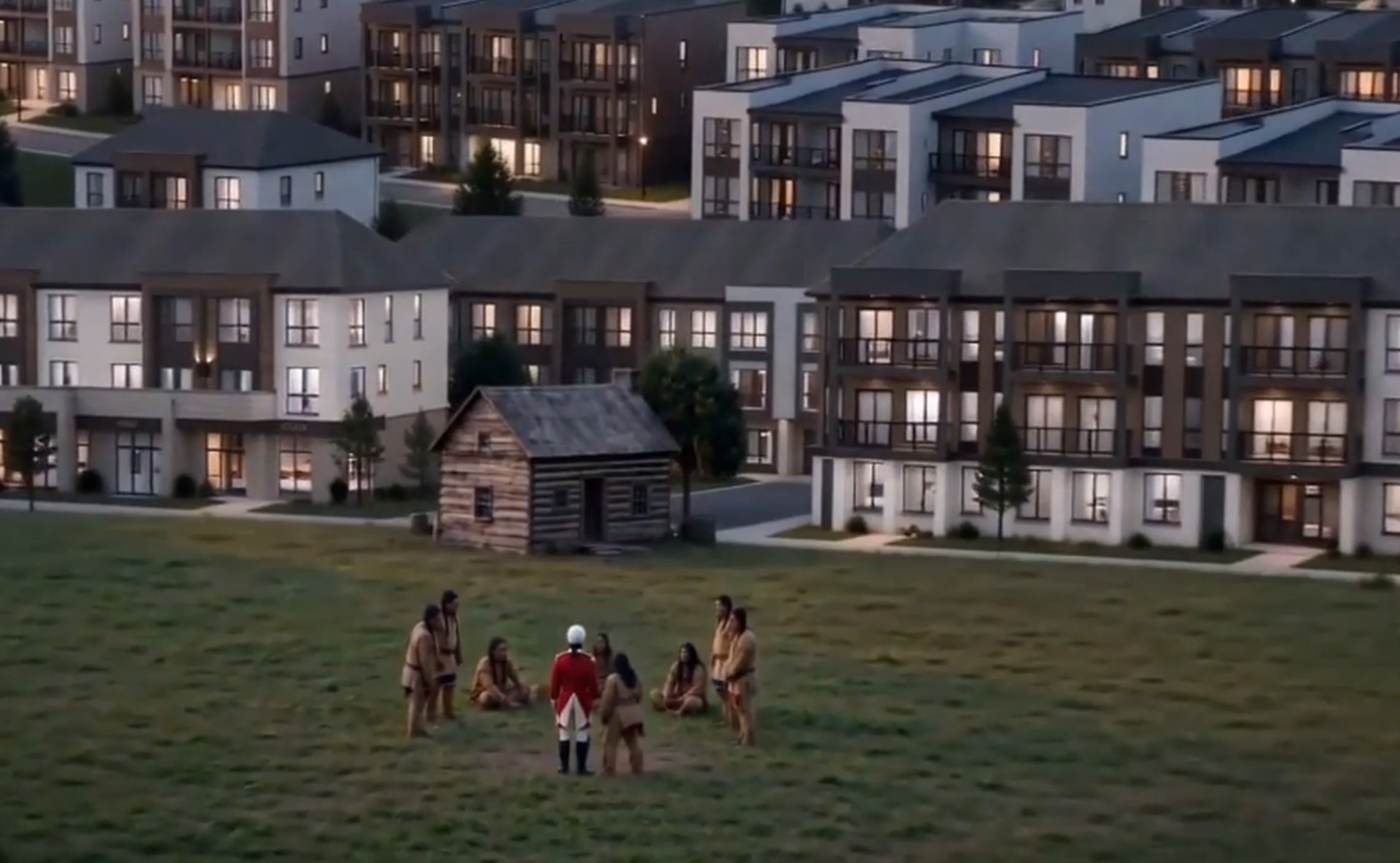
Our Story at 31 Sand Rd
Tracing 5,000 years of rich Indigenous and colonial history right here in Holland Landing.
31 Sand Road and the East Holland River Corridor Initiative
The 31 Sand Road and East Holland River Corridor initiative is a community-led effort to learn, document, and share the history connected to one of Holland Landing’s most significant local landscapes. Through historical research, archival records, archaeology-aware interpretation, former landowner knowledge, classroom learning, public meetings, and community outreach, this initiative seeks to help residents understand how 31 Sand Road connects to a much larger story involving Indigenous presence, river travel, early routes, Yonge Street, settlement, trade, environmental change, and the development of our township.
Our motive is simple: a community should understand the history of the land beneath its feet before that history is forgotten, altered, or lost. The East Holland River was not only a natural feature. It was a corridor of movement, memory, survival, transportation, and community life. Learning this history helps us make better decisions moving forward, teaches students that Canadian history exists in their own neighbourhoods, and encourages residents to protect both the historical and ecological landscapes that shaped East Gwillimbury. This work is about stewardship, public learning, and ensuring that the stories connected to this land remain accessible for future generations.
Community Resources
Sharing 5,000 years of rich history through clear, respectful storytelling.
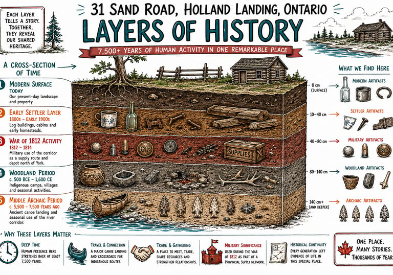

Historical Timeline of the Property
Public-safe timeline illustrating key Indigenous and colonial moments.
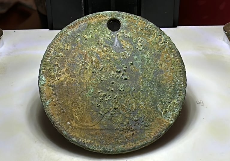
Artifact Gallery
High-resolution photos showcasing artifacts and landscape shots.
Educational Resources for the Classroom
Educational Resources
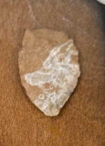
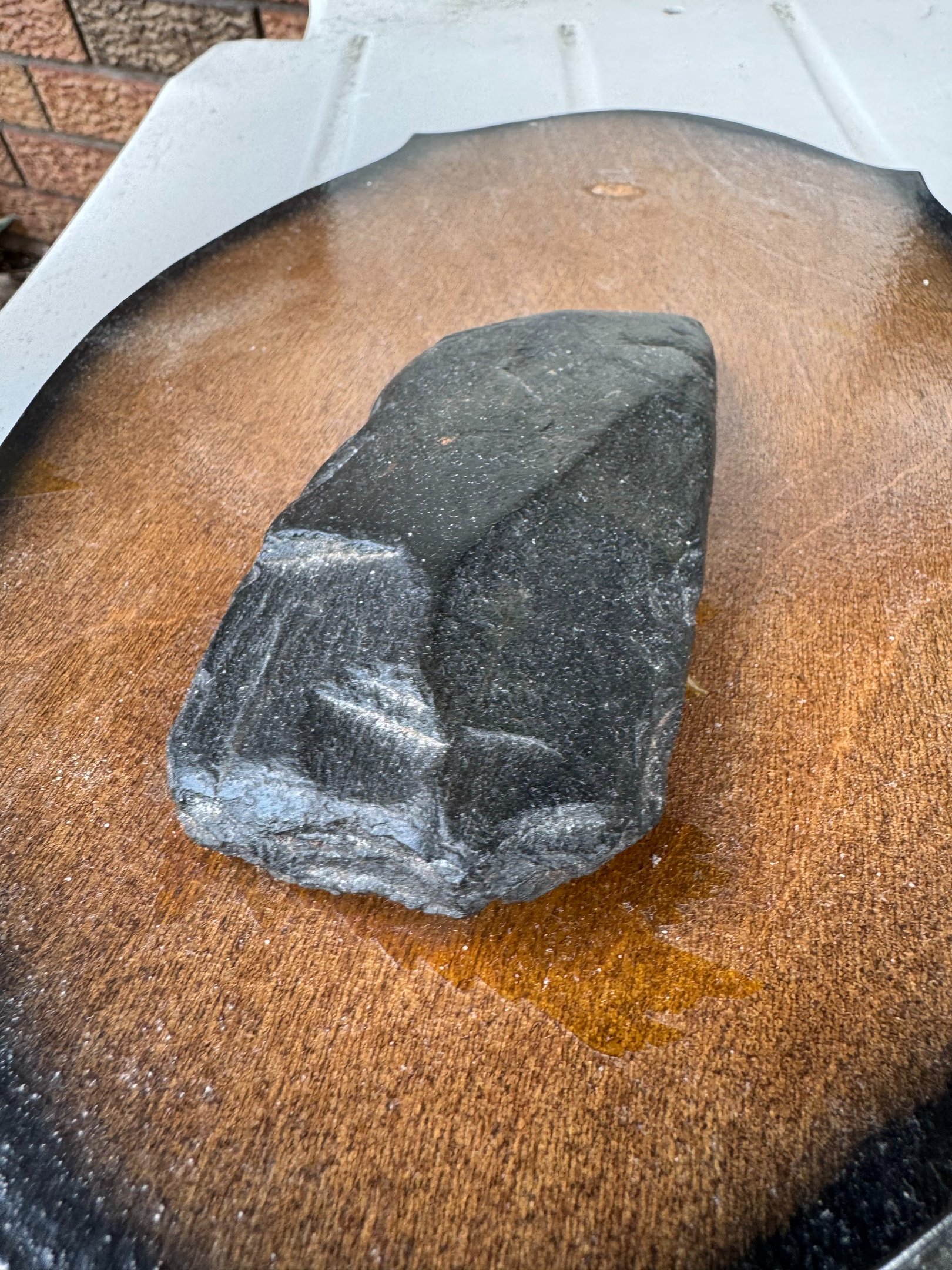
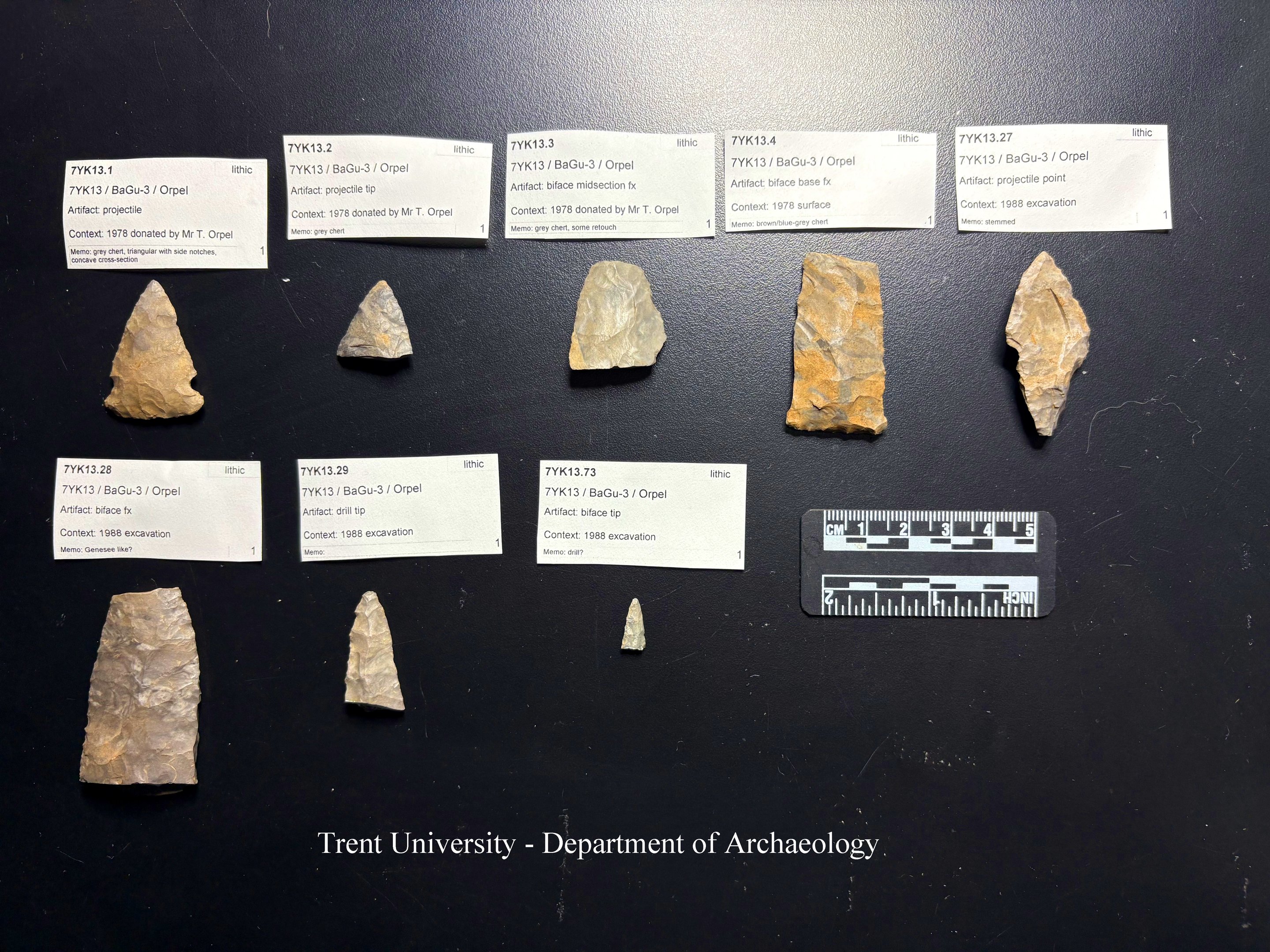
Gallery View
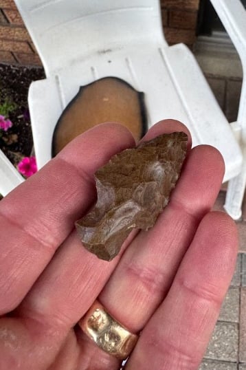
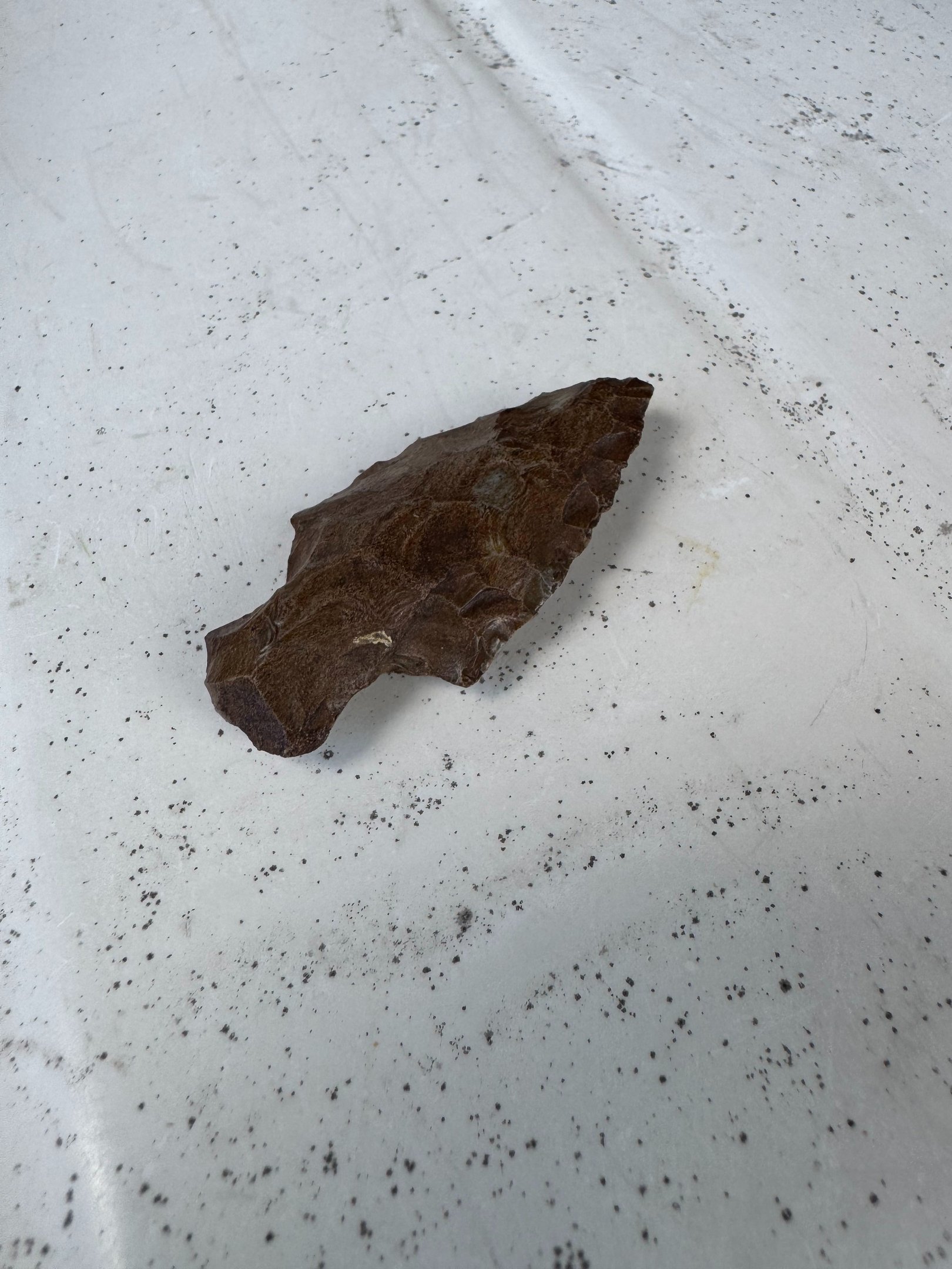
Artifacts and moments from 31 Sand Rd’s past
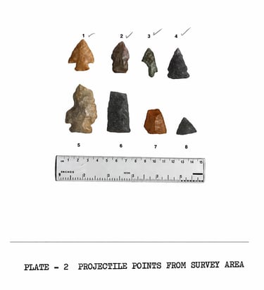


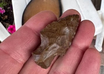
These artifacts are from the Late Archaic Period. This translates to 4500 years ago.
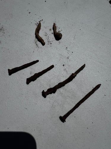
These nails date back to the late 1700's. The last nail on the right was made by hand.
Questions? Please contact: the4browns@rogers.com
Archaeological Research by Gordon Dibb
Historical Research:
-John Graves Simcoe Family Papers 1655-1931
-Augustus Jones, Field Book No. 1, Survey Notes & Diary, 1791-2
-Elizabeth Posthuma (Gwillim) Simcoe – Diaries
-Nancy Robinson-Eves -A History of the East Branch of the Holland River
-Gordon Dibb: Archaeological Survey of the East Holland River and its Environs
-Richard MacLeod: Heritage Preservation: The 31 Sand Road Case Study
-AS&G Archaeological Assessment: Stage 1 & 2 Archaeological Assessment of
31 Sand Road prepared for the Town of East Gwillimbury, Ontario
-Archaeological Services Inc. - Final Report on Phases 2 and 3 of the
Master Plan of Archaeological Resources for the Town of East Gwillimbury, Ontario
-East Holland River Subwatershed Plan - Lake Simcoe Region Conservation Authority 2010
-Town of East Gwillimbury Water and Wastewater Master Plan Update
Natural Environment Screening, 3.1.1 Heritage Report Summary 2018
-An Archaeological Assessment of the Orpel SubdivisionPrepared
by Archaeological Research Associates Ltd. for the Town of East Gwillimbury, Ontario
-Cultural Heritage Resource Assessment: Existing Conditions and Preliminary Impact Assessment, Complete Communities Secondary Plan Study for the Town of East Gwillimbury
Jim White Affidavit